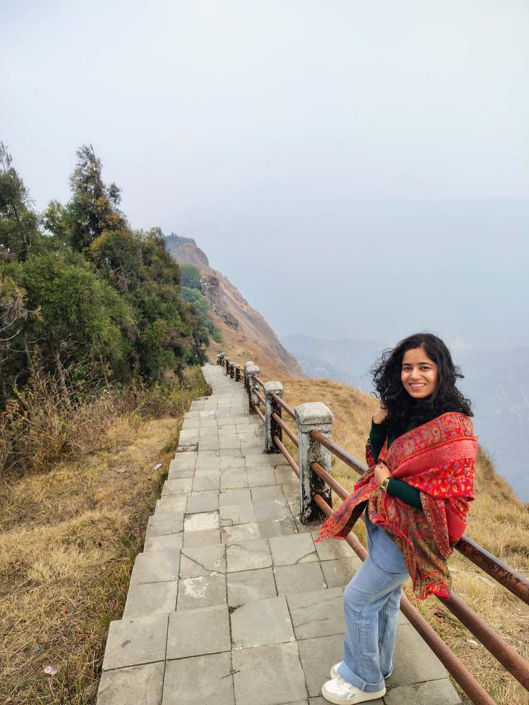
Uttarakhand is referred to as Manaskhand and Kedar Khand in the Skanda Purana (Mukhyapurana). The Kumaon region is now referred to as Manaskhand. Since Kumaon and Nepal shared a border, there are excellent cultural exchanges between the two countries’ languages, accents, cuisines, festivals, and other aspects of their cultures. Only in this region can you find a certain kind of silence. It’s the peace of a sun-drenched veranda, the scent of woodsmoke in oak forests, and the far-off melody of a flute, not the heavy, intimidating silence of high-altitude glaciers.
Table of Contents
Kumaon is a return home if Garhwal is a major pilgrimage. It breathes with you rather than attempting to take your breath away with its sheer size.
“Kumaon (pronounced Koo-ma-on) is a breathtaking region in Uttarakhand…”
Understanding Kumaon
The eastern portion of Uttarakhand is called Kumaon. The Katyuri dynasty and the Chand kings shaped this region. Their capital was originally located in the Someshwar Valley but it later moved to the Almora. More significantly, though, this area is shaped by its inhabitants. Life in this place follows the cycles of the seasons. The painstakingly carved stone doors, the Aipan art (Traditional art) found in every home, and the way strangers are welcomed like long-lost cousins are all examples of it.
The Districts: Stories & Stats
Almora — The Cultural Heart
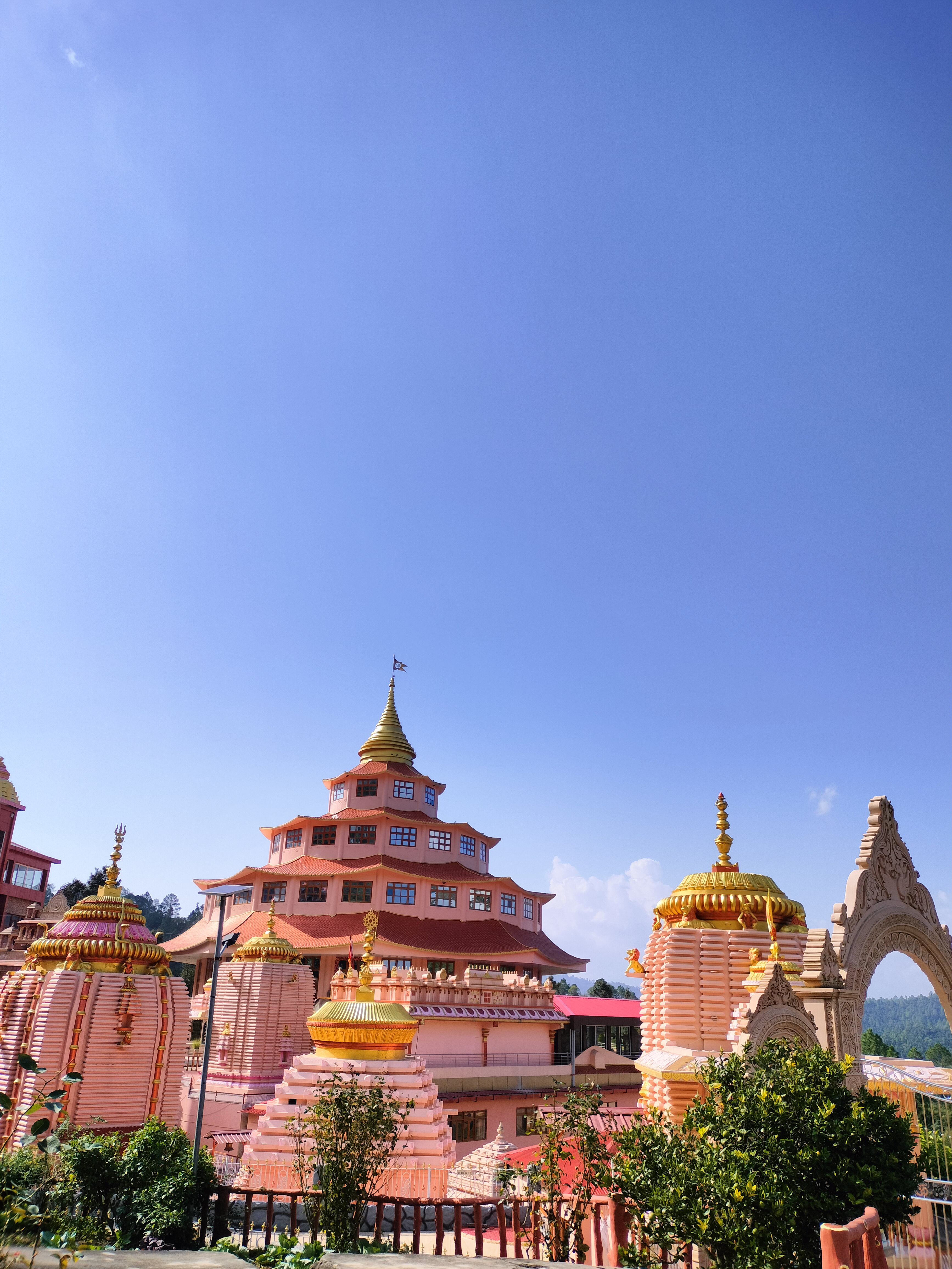
Almora is an outdoor museum. Shops that have existed for centuries can be found as you stroll through Lala Bazaar’s winding, cobblestone streets. If you want to enjoy some classic Bal Mithai, read a book and watch the sunset turn the Nanda Devi line into liquid gold, this is the place to go. The Kumaoun region’s princely district, Almora, is home to numerous legends. One of the most popular tourist destinations in Almora nowadays is Kasar Devi.
- Area: ~3,090 sq km
- Altitude: ~1,600 m
- Haldwani Distance: ~90 km
- The Vibe: Artistic, nostalgic, and deeply traditional.
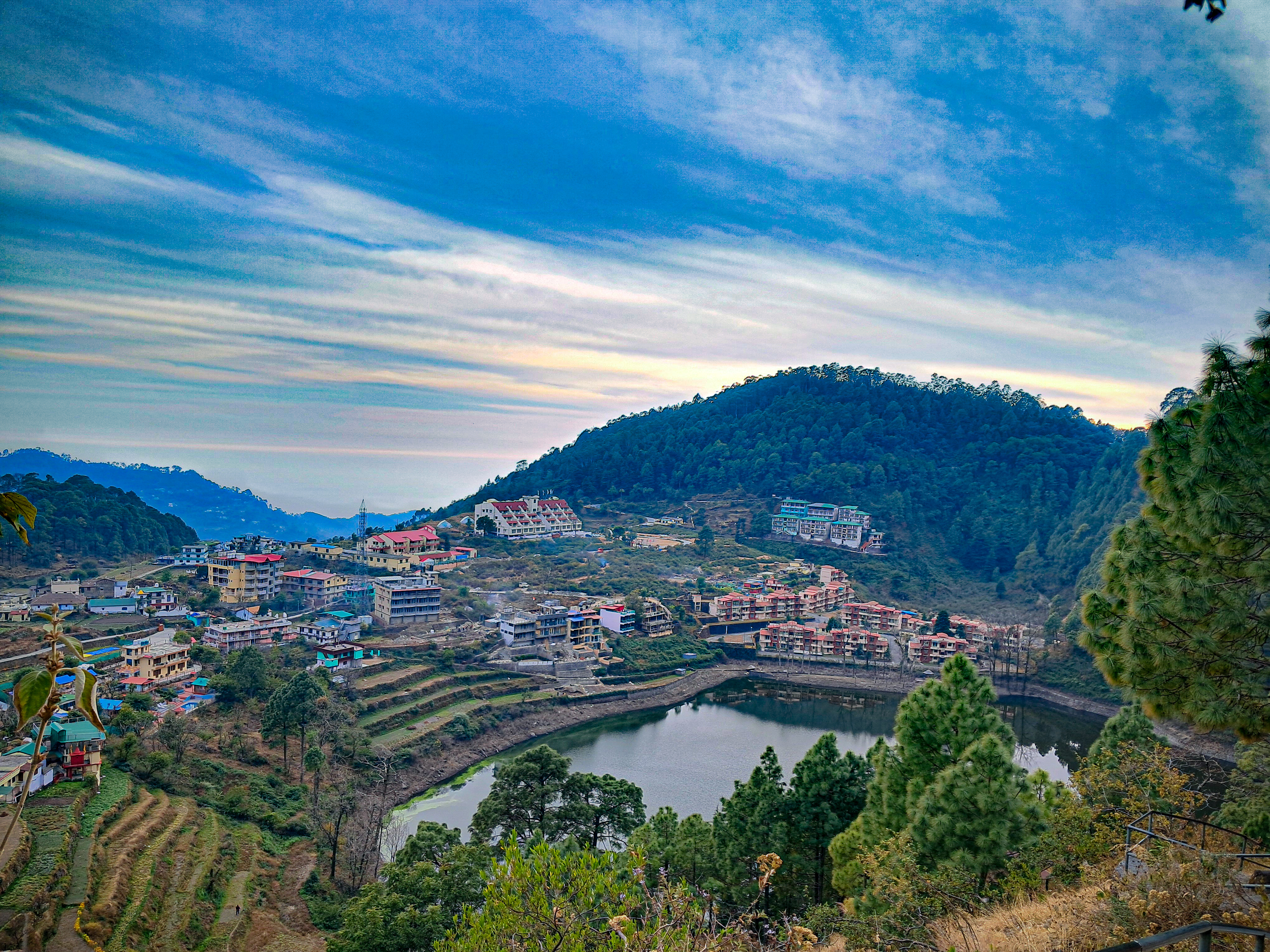
Nainital — The Lake District
It’s clear that Nainital is a British-built hill station, but did you know that its lake is famous? Geologists used to think that Naini Lake was a glacial (Himani) wonder that was formed thousands of years ago by slowly moving ice. The emerald waters are still the heart of Kumaon today, whether you believe they are a gift from the glaciers or a result of the earth’s tectonic movements. Most people start their adventure in Nainital. There are hidden gems like Pangot and Saat Tal, where the birdsong is louder than the traffic, past the main Mall Road. The “soft landing” into the Himalayas is perfect.
- Area: ~3,860 sq km
- Altitude: ~2,000 m
- Haldwani Distance: ~40 km
- The Vibe: Vibrant, misty, and accessible.
Pithoragarh — The Himalayan Gateway
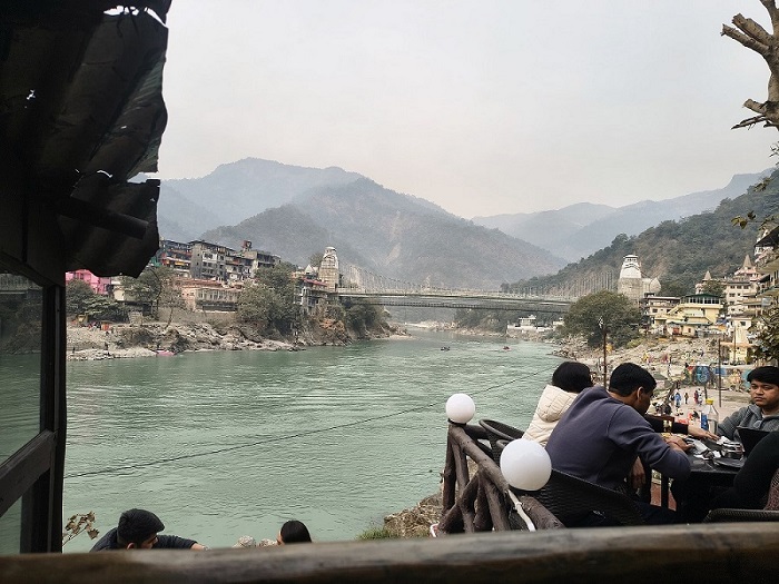
This is where the unspoiled scenery is, and people often call it “Little Kashmir.” As you get closer to Pithoragarh, the hills get bigger. It is the starting point for the Kailash Mansarovar Yatra and a great place for anyone who thinks a “road trip” should be exciting. The Kali River, which separates Dharchula in India from Darchula in Nepal, is a natural international border. A short walk across a bridge takes you to a different country here. Pithoragarh and Nepal have very similar cultures.
- Area: ~7,090 sq km
- Altitude: ~1,500–2,200 m
- Haldwani Distance: ~186–210 km
- The Vibe: Raw, majestic, and adventurous.
Bageshwar — Where Rivers Meet Faith
A quiet district where spirituality flows as naturally as its rivers. It’s the confluence of the Saryu and Gomti rivers, home to the ancient Bagnath Temple. It feels like a place where time stands still.
- Area: ~2,300 sq km
- Altitude: ~1,000 m
- Haldwani Distance: ~160 km
- The Vibe: Peaceful, mystical, and soul-stirring.
Champawat — The Hidden Gem
Rich in history and myth, Champawat is the birthplace of the Kurma Avatar. It is still largely untouched by heavy tourism, offering dense forests and a sense of ancient mystery.
- Area: ~1,780 sq km
- Altitude: ~1,600 m
- Haldwani Distance: ~164 km
- The Vibe: Quiet, historic, and verdant.
Udham Singh Nagar — The Backbone of Growth
Unlike the rest of Kumaon, this district lies in the fertile plains. It’s a bustling hub of agriculture and industry, providing the energy and resources that fuel the mountain state.
- Area: ~2,900 sq km
- Altitude: ~200–300 m
- Haldwani Distance: 0–70 km
- The Vibe: Productive, flat, and warm.
A Living, Breathing Culture
You haven’t experienced Kumaon until you’ve tasted Bhatt ki Churkani (a black bean delicacy) or seen the Choliya Dance, where warriors dance with swords to the beat of the Ransingha.
- Harela: A festival where people plant seeds to celebrate the wedding of Shiva and Parvati—and nature itself.
- Aipan: The beautiful white-and-red floor art you’ll see at every doorstep, welcoming prosperity.
Geography: A Land of Layers
Kumaon is not one landscape—it is many. You have the flat, fertile Terai in the south; the rolling, oak-forested “Middle Hills”; and the towering, snow-clad peaks of the Great Himalayas in the north. Distances here are not just measured in kilometres but in the way the air gets thinner and the tea gets sweeter the higher you go.
Kumaon vs. Garhwal: The Vibes
People often ask, “Which one should I visit?”
- Go to Garhwal if you want the “big” stuff: the highest peaks, the steepest treks, and the most famous temples (Char Dham). It’s intense, spiritual, and grand.
- Go to Kumaon if you want to live in the mountains. The hills are gentler, the forests are denser, and the atmosphere is more about “Pahadi” hospitality and slow travel.
-
What is Kumaon famous for?
Kumaon is renowned for its breathtaking Himalayan views, particularly of peaks like Nanda Devi and Panchachuli. It is famous for its “Lake District” (Nainital and surrounding lakes), ancient stone temples like Jageshwar Dham, and its rich cultural heritage including Aipan art and unique Pahadi cuisine. It is also the legendary home of the Jim Corbett National Park.
-
What are the districts of Kumaon?
Kumaon is divided into 6 administrative districts (often a point of confusion as people sometimes count newer proposed divisions):
Nainital
Almora
Pithoragarh
Champawat
Bageshwar
Udham Singh Nagar (Note: While some older geographical references or sub-divisions exist, these are the 6 official districts of the Kumaon Division.) -
Was Kumaon part of Nepal?
Yes, for a brief historical period. The Gorkhas of Nepal invaded and ruled Kumaon from 1790 to 1815. Their rule ended after the Anglo-Gorkha War, following the Treaty of Sugauli, when the region was ceded to the British and became part of British India.
-
Who is better: Kumaon or Garhwal?
Neither is “better” as both offer distinct experiences. Kumaon is often preferred for its lush fruit orchards, soft rolling hills, and accessible lake viewpoints. Garhwal is known for higher, more rugged terrain and the primary Char Dham pilgrimage sites. Both regions share a deep-rooted Pahadi culture and stunning Himalayan beauty.
-
What is the Kumaon Regiment?
The Kumaon Regiment is one of the most decorated infantry regiments of the Indian Army. Known for its valor and bravery, it has produced several Army Chiefs and is famous for its role in the Battle of Rezang La. Its headquarters is located in the beautiful hill station of Ranikhet.
-
Is there a specific Kumaon City?
There is no single “Kumaon City.” Instead, Haldwani serves as the “Gateway to Kumaon” and is its largest commercial hub, while Nainital is the judicial capital and Almora is considered the cultural heart of the region.
-
What is the Kumaon caste system?
The social fabric of Kumaon is primarily composed of Kumaoni Brahmins, Rajputs (Kshatriyas), and Shilpkars. These communities have lived in the hills for centuries, developing a unique identity distinct from the plains, centered around village deities (Gram Devta) and mountain traditions.
-
Which state is Kumaon in?
Kumaon is one of the two administrative divisions of the North Indian state of Uttarakhand. It forms the eastern half of the state, bordering Nepal to the east and Tibet to the north.
-
How do you pronounce Kumaon?
Kumaon is pronounced as “Koo-ma-on.”


Leave a Reply